Pacific Northwest Trail
If you’re looking for adventure, you’ve found it in the Pacific Northwest Trail! A virtual hike on this website will certainly be a lot easier than doing the trail in real life, but at least it might give you a taste of what a real-life hiker goes through.
There are 11 designated National Scenic Trails (as of 2020), and the Pacific Northwest Trail (PNT) is considered the most difficult of them all. It’s extremely remote, the trail is often overgrown and blocked with blowdowns—if a trail even exists because in some areas, there are absolutely no trails at all. The route leads into the backcountry and requires good navigation skills, difficult bushwhacking and a strong sense of self-preservation. Obstacles span from snow-covered mountains to searing deserts, lack of water sources (or polluted water sources) and extreme loneliness.
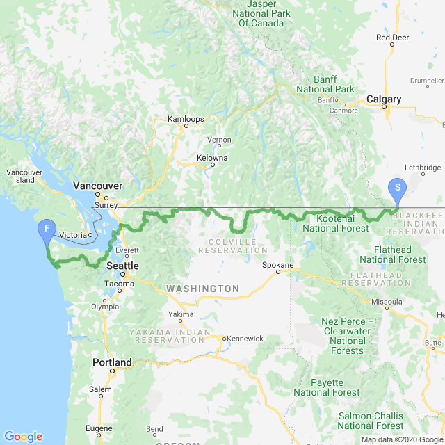
The Pacific Northwest Trail is a brutal, brutal trail, but runs through some of the most spectacular scenery in America. It begins in Glacier National Park in Montana where it crosses over the Continental Divide, through the panhandle of Idaho before entering Washington state where it passes through the North Cascades National Park, across Puget Sound, through Olympic National Park before finishing at the Pacific Ocean 1,200 miles (~2,000 km) later.
If you’re thinking about hiking the trail in real life, you might want to download the GPS tracks of the route.
| Stage Name | Length (miles) | Position (miles) | |
|---|---|---|---|
| 1. | East Glacier | 27.7 | 0.0 → 27.7 |
| 2. | West Glacier | 23.0 | 27.7 → 50.7 |
| 3. | Polebridge, MT | 18.6 | 50.7 → 69.3 |
| 4. | Whitefish Divide | 20.6 | 69.3 → 89.9 |
| 5. | Mount Wam | 33.5 | 89.9 → 123.4 |
| 6. | Eureka, MT | 29.1 | 123.4 → 152.5 |
| 7. | Webb Mountain | 15.9 | 152.5 → 168.4 |
| 8. | Mt Henry & the Yaak River | 24.5 | 168.4 → 192.9 |
| 9. | Garver Mountain to MT/ID Border | 30.5 | 192.9 → 223.4 |
| 10. | Moyie River | 29.4 | 223.4 → 252.8 |
| 11. | Bonners Ferry, ID | 11.0 | 252.8 → 263.8 |
| 12. | Parker Ridge | 18.8 | 263.8 → 282.6 |
| 13. | Lion Creek Bushwhack | 14.0 | 282.6 → 296.6 |
| 14. | Priest Lakes to ID-WA Border | 23.8 | 296.6 → 320.4 |
| 15. | Shedroof Divide | 23.0 | 320.4 → 343.4 |
| 16. | Metaline Falls, WA | 16.4 | 343.4 → 359.8 |
| 17. | Abercrombie Mountain | 21.9 | 359.8 → 381.7 |
| 18. | Northport, WA | 24.2 | 381.7 → 405.9 |
| 19. | Kettle River (east) | 22.5 | 405.9 → 428.4 |
| 20. | Kettle River (west) | 18.7 | 428.4 → 447.1 |
| 21. | Kettle Crest | 34.9 | 447.1 → 482.0 |
| 22. | Republic, WA (east) | 25.5 | 482.0 → 507.5 |
| 23. | Republic, WA (west) | 26.7 | 507.5 → 534.2 |
| 24. | Maple Ridge | 14.8 | 534.2 → 549.0 |
| 25. | Bonaparte Lake & Mtn | 22.1 | 549.0 → 571.1 |
| 26. | Oroville, WA (east) | 23.9 | 571.1 → 595.0 |
| 27. | Oroville, WA (west) | 14.5 | 595.0 → 609.5 |
| 28. | Palmer Lake | 21.6 | 609.5 → 631.1 |
| 29. | Horseshoe Basin | 20.8 | 631.1 → 651.9 |
| 30. | Cathedral Lakes | 18.6 | 651.9 → 670.5 |
| 31. | Pasayten River (east) | 17.5 | 670.5 → 688.0 |
| 32. | Pasayten River (west) | 16.8 | 688.0 → 704.8 |
| 33. | Pacific Crest Trail | 13.1 | 704.8 → 717.9 |
| 34. | Devils Dome, Pasayten Wilderness | 17.0 | 717.9 → 734.9 |
| 35. | Ross Lake DNR | 32.1 | 734.9 → 767.0 |
| 36. | North Cascades NP | 28.5 | 767.0 → 795.5 |
| 37. | Mt. Baker Wilderness | 30.1 | 795.5 → 825.6 |
| 38. | Baker Lake | 25.8 | 825.6 → 851.4 |
| 39. | Concrete Detour | 28.6 | 851.4 → 880.0 |
| 40. | Wickersham, WA | 23.2 | 880.0 → 903.2 |
| 41. | Anderson Mountain | 15.9 | 903.2 → 919.1 |
| 42. | Chuckanut, Edison | 24.5 | 919.1 → 943.6 |
| 43. | Anacortes, Fidalgo Island | 22.4 | 943.6 → 966.0 |
| 44. | Whidbey Island | 34.4 | 966.0 → 1,000.4 |
| 45. | Port Townsend, WA | 24.7 | 1,000.4 → 1,025.1 |
| 46. | Olympic National Forest | 32.2 | 1,025.1 → 1,057.3 |
| 47. | Dosewallips, Olympic NP | 27.9 | 1,057.3 → 1,085.2 |
| 48. | Elwha, Olympic NP | 30.6 | 1,085.2 → 1,115.8 |
| 49. | Sol Duc, Olympic NP | 20.3 | 1,115.8 → 1,136.1 |
| 50. | Bogachiel, Olympic NP | 22.2 | 1,136.1 → 1,158.3 |
| 51. | Forks, WA | 31.1 | 1,158.3 → 1,189.4 |
| 52. | South Coast, Olympic NP | 20.4 | 1,189.4 → 1,209.8 |
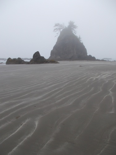
| 53. | North Coast, Olympic NP | 29.0 | 1,209.8 → 1,238.8 |
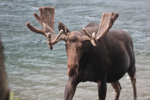
Moose in Cosley Lake

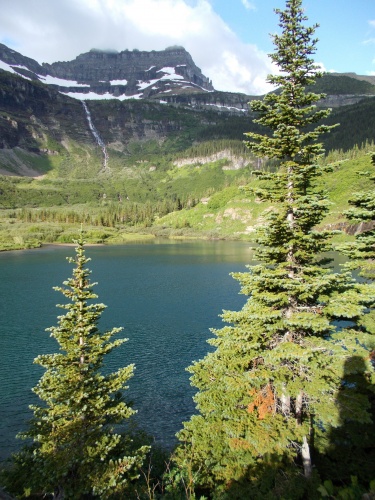
Thunderbird Pond
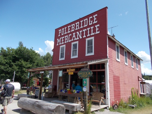
Polebridge Mercantile & Bakery
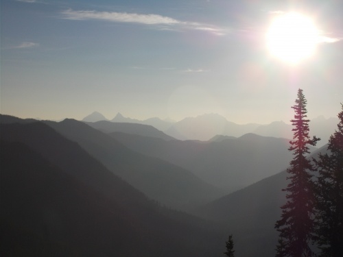
Sunrise over the Whitefish Divide
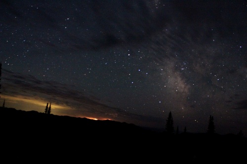
Starry nights!
US-Canadian Border
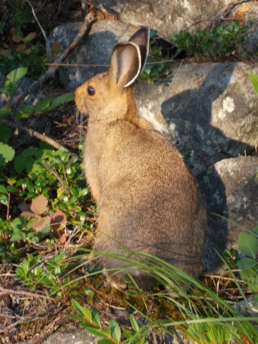
Rabbit on the trail!
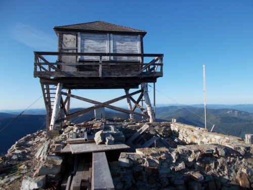
Mount Henry Lookout Tower
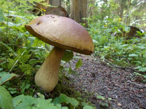
Mushrooms of the trail
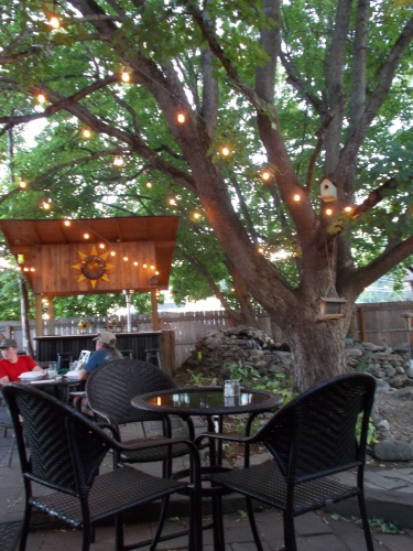
Two Tones Cafe
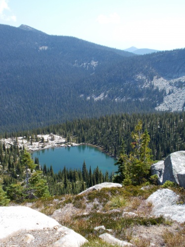
Long Mountain Lake
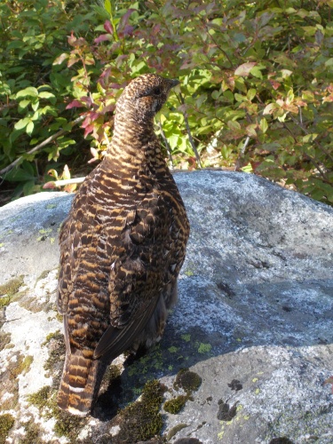
Grouse
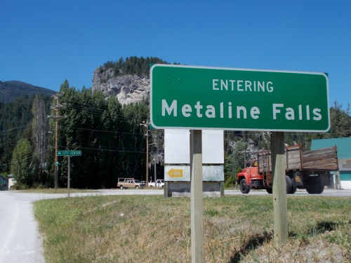
Entering Metaline Falls
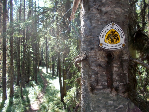
PNT Waymarker
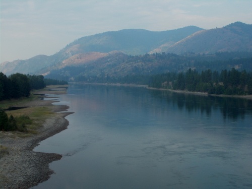
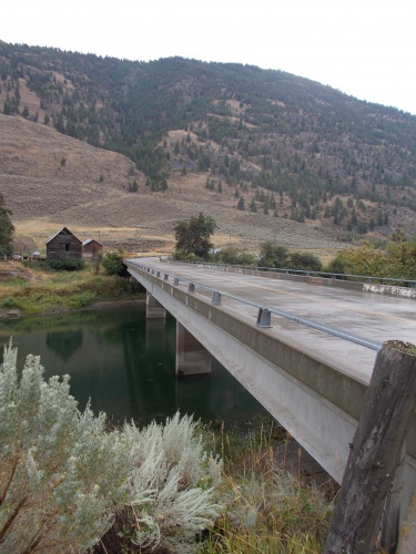
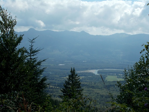
Columbia River
Republic, WA
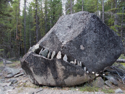
Rock fish monster
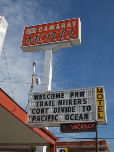
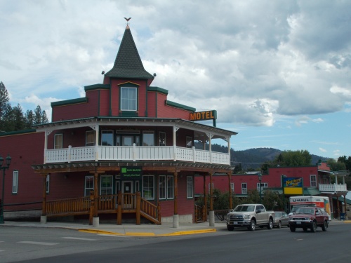
Camaray Motel, Oroville, WA
Nighthawk, WA
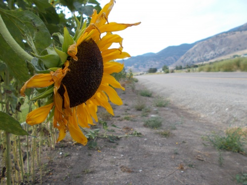
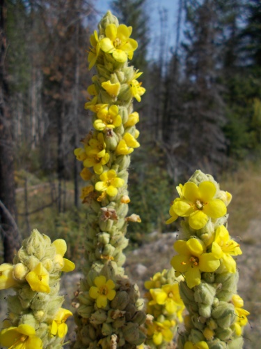
Sunflower
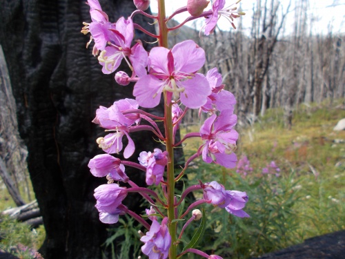
Fireweed
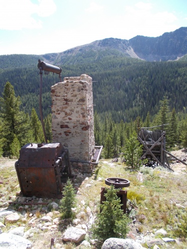
Tungsten Mine
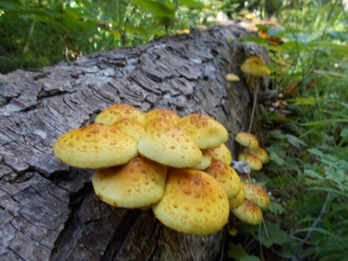
Mushrooms of the trail
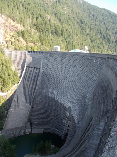
Ross Dam
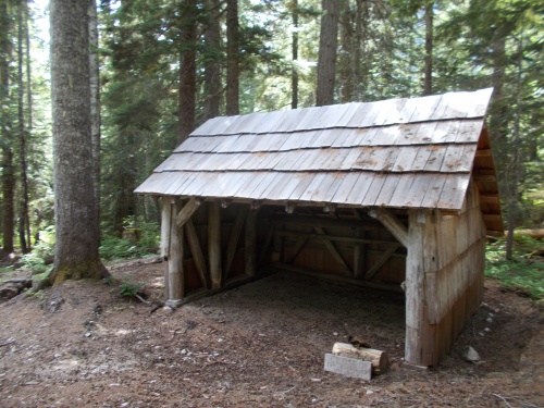
Beaver Pass Shelter
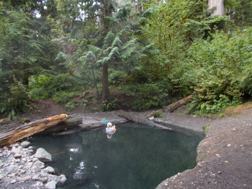
Baker Hot Spring
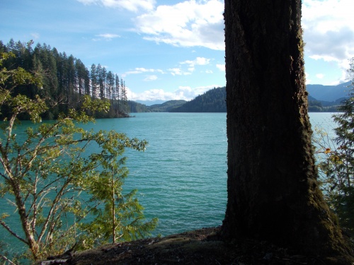
Baker Lake
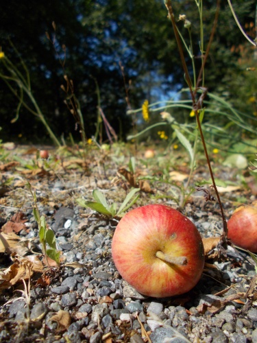
Apple on the trail
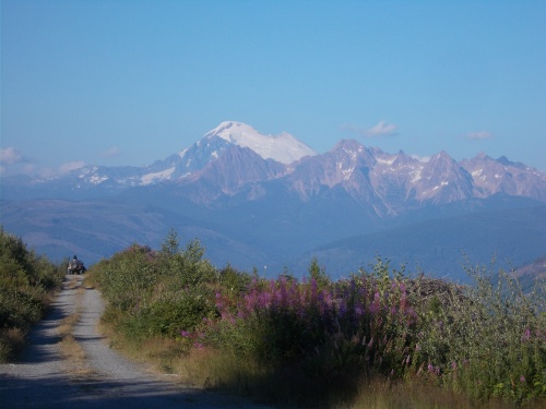
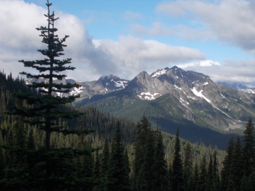
View of Mount Baker
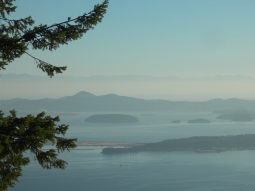
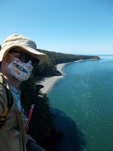
San Juan Islands
Sign of the times....
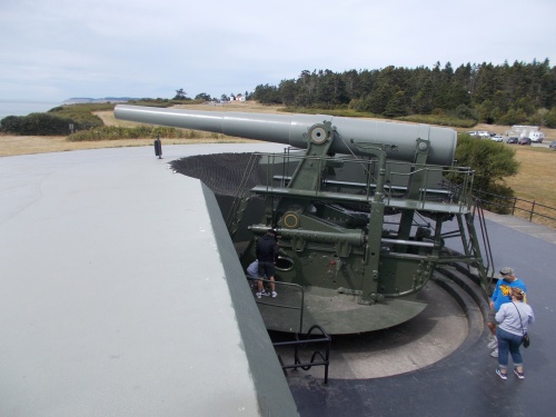
Fort Casey
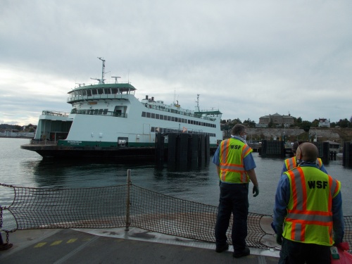
Port Townsend Ferry
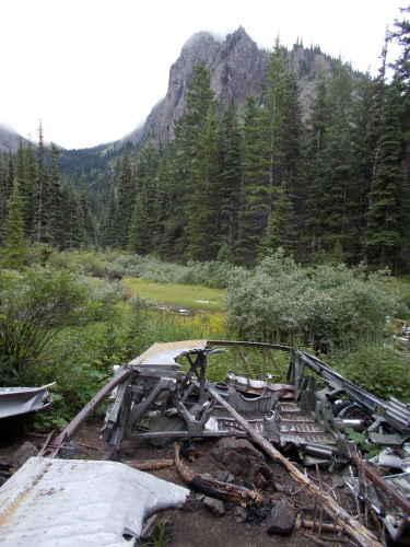
B-17 Wreckage
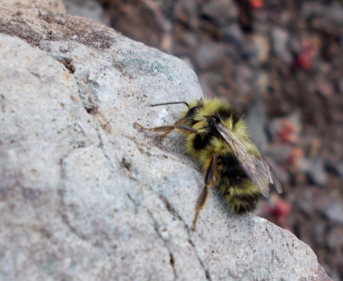
That’s a large bee!
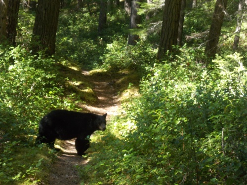
Bear on the trail!
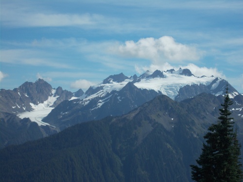
Mount Olympus
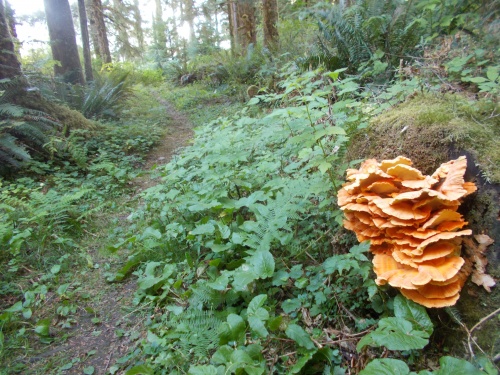
Fungi of the PNT
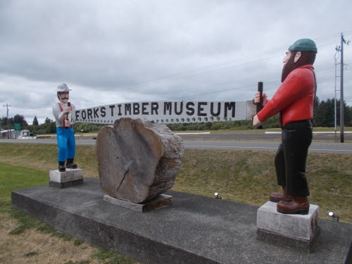
Forks Timber Museum
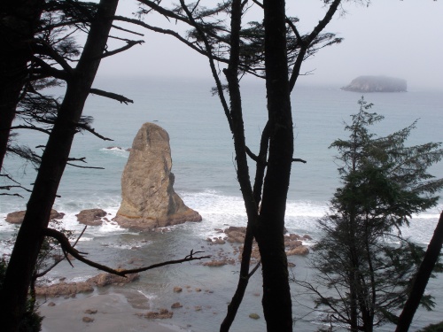
Sea stacks