Pennine Way, the Backbone of England
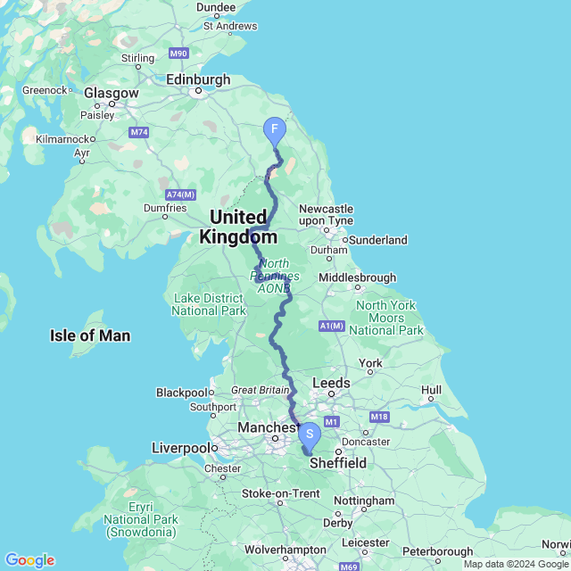
The Pennine Way was first proposed in 1935 by a fellow named Tom Stephenson, inspired at least in part by the much longer Appalachian Trail and Pacific Crest Trail in the United States. The UK had no official long-distance footpaths, and he suggested ‘a long green trail’ of their own. After 30 years, with some degree of controversy, the Pennine Way was built following a route from Edale over the Scottish border to Kirk Yetholm. The official opening ceremony was held on April 24, 1965, and the first official Pennine Way guidebook was published four years later in 1969.
There have been some reroutes over the years, as all long-distance routes tend to do over the years, and many of the original paths through the peat bogs have been replaced with stone slabs to help protect the environment from the increasingly popular trail making a bit easier now than in previous years, but for the most part, the route is largely the same now as it was then.
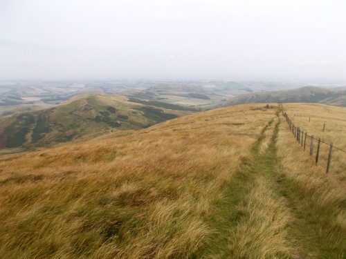
The Pennine Way is considered the most difficult of the national trails, leading through remote areas and high, windy peaks. The trail runs through time itself, following along a section of Hadrian’s Wall, a defensive line built by the Romans nearly 2,000 years ago as well as a few Roman forts. It passes by old lead mines and railroads, canals and castles. Running through three national parks, it includes some of the best scenery and landscapes that England provides. There are good reasons that this was the first and original national trail in the UK, and it is well worth an exploration!
Hiking the Pennine Way In Real Life?
For those of you interested in a real-life attempt at a Pennine Way thru-hike, I’ve made the GPS tracks that I recorded during my hike available for free. Read more about how to download the Pennine Way GPS tracks, and the caveats you should know about them.
| Stage Name | Length (miles) | Position (miles) | |
|---|---|---|---|
| 1. | Edale | 11.5 | 0.0 → 11.5 |
| 2. | B-29 / Crowden | 10.1 | 11.5 → 21.6 |
| 3. | The White House | 17.2 | 21.6 → 38.8 |
| 4. | Hebden Bridge | 11.0 | 38.8 → 49.8 |
| 5. | Ickornshaw | 14.1 | 49.8 → 63.9 |
| 6. | Gargrave | 11.5 | 63.9 → 75.4 |
| 7. | Malham | 10.0 | 75.4 → 85.4 |
| 8. | Malham Cove, Tarn and Moor | 13.3 | 85.4 → 98.7 |
| 9. | Hawes | 12.9 | 98.7 → 111.6 |
| 10. | Thwaite | 11.2 | 111.6 → 122.8 |
| 11. | Keld | 15.0 | 122.8 → 137.8 |
| 12. | Middleton-in-Teesdale | 9.0 | 137.8 → 146.8 |
| 13. | High Force Waterfall | 14.9 | 146.8 → 161.7 |
| 14. | High Cup Nick / Cross Fell | 15.1 | 161.7 → 176.8 |
| 15. | Alston | 10.8 | 176.8 → 187.6 |
| 16. | Knarsdale | 9.4 | 187.6 → 197.0 |
| 17. | Kellah Farm | 4.1 | 197.0 → 201.1 |
| 18. | Once Brewed | 13.0 | 201.1 → 214.1 |
| 19. | Vindolanda | 4.8 | 214.1 → 218.9 |
| 20. | Sycamore Gap | 12.1 | 218.9 → 231.0 |
| 21. | Bellingham | 16.8 | 231.0 → 247.8 |
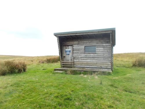
| 22. | Refuge Huts | 21.0 | 247.8 → 268.8 |
| 23. | Kirk Yetholm | 7.2 | 268.8 → 276.0 |
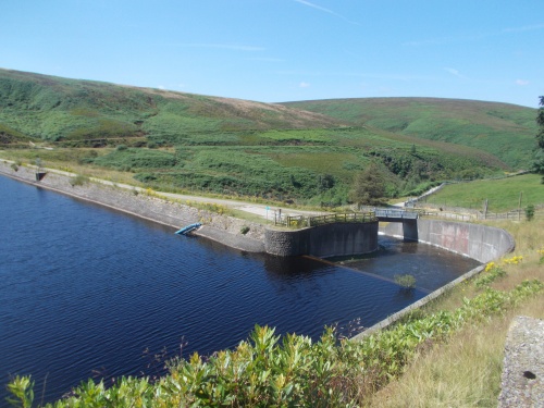
Wessenden Reservoir
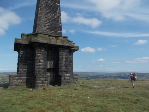
Stoodley Pike Monument
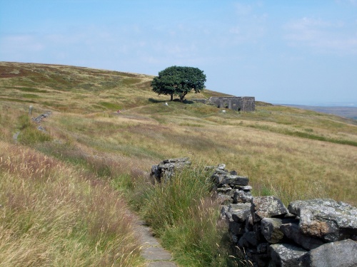
Top Withens
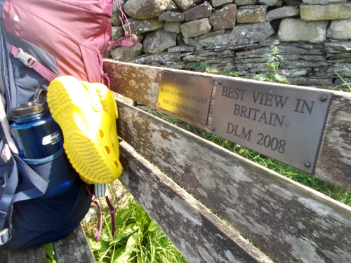
Best view in Britain
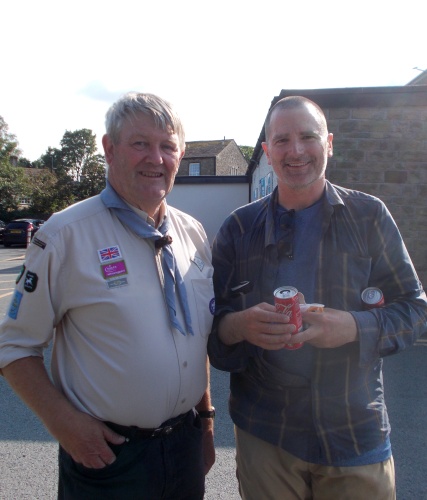
Dilton Martian and Ryan
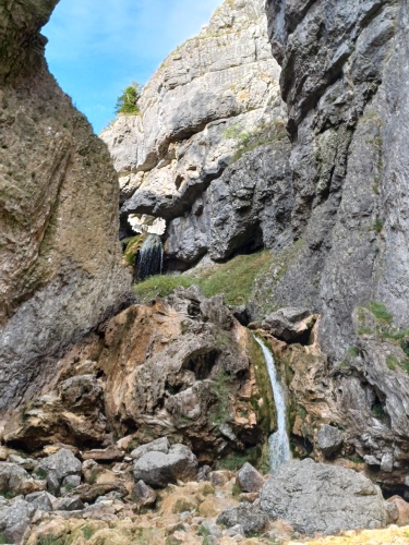
Gordale Scar
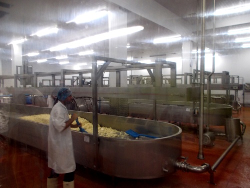
Wensleydale Cheese Factory
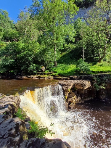
Kisdon Force
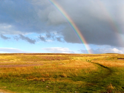
Double rainbow
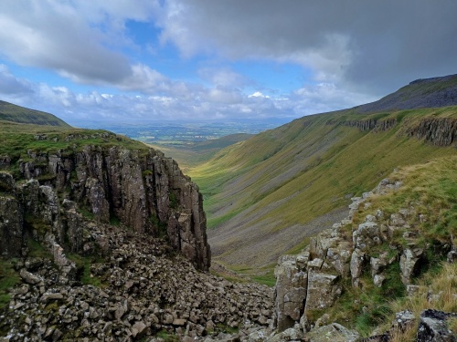
High Cup Nick
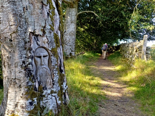
Man in the tree
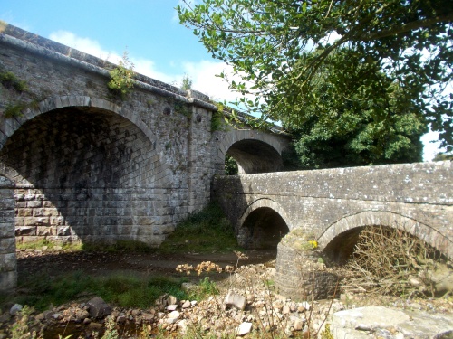
Where viaducts collide
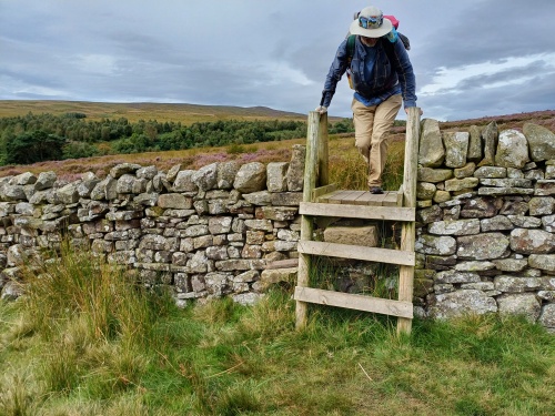
Ryan jumps a wall!
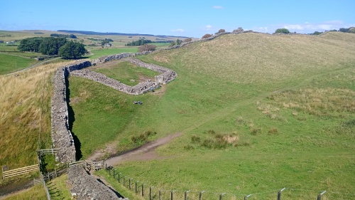
Hadrian's Wall: Milecastle 42
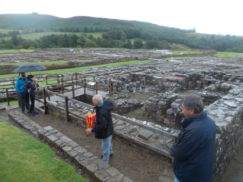
Vindolanda tour
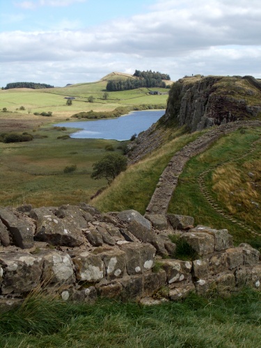
Hadrian's Wall

Bellingham
Yearning Saddle Refuge Hut